
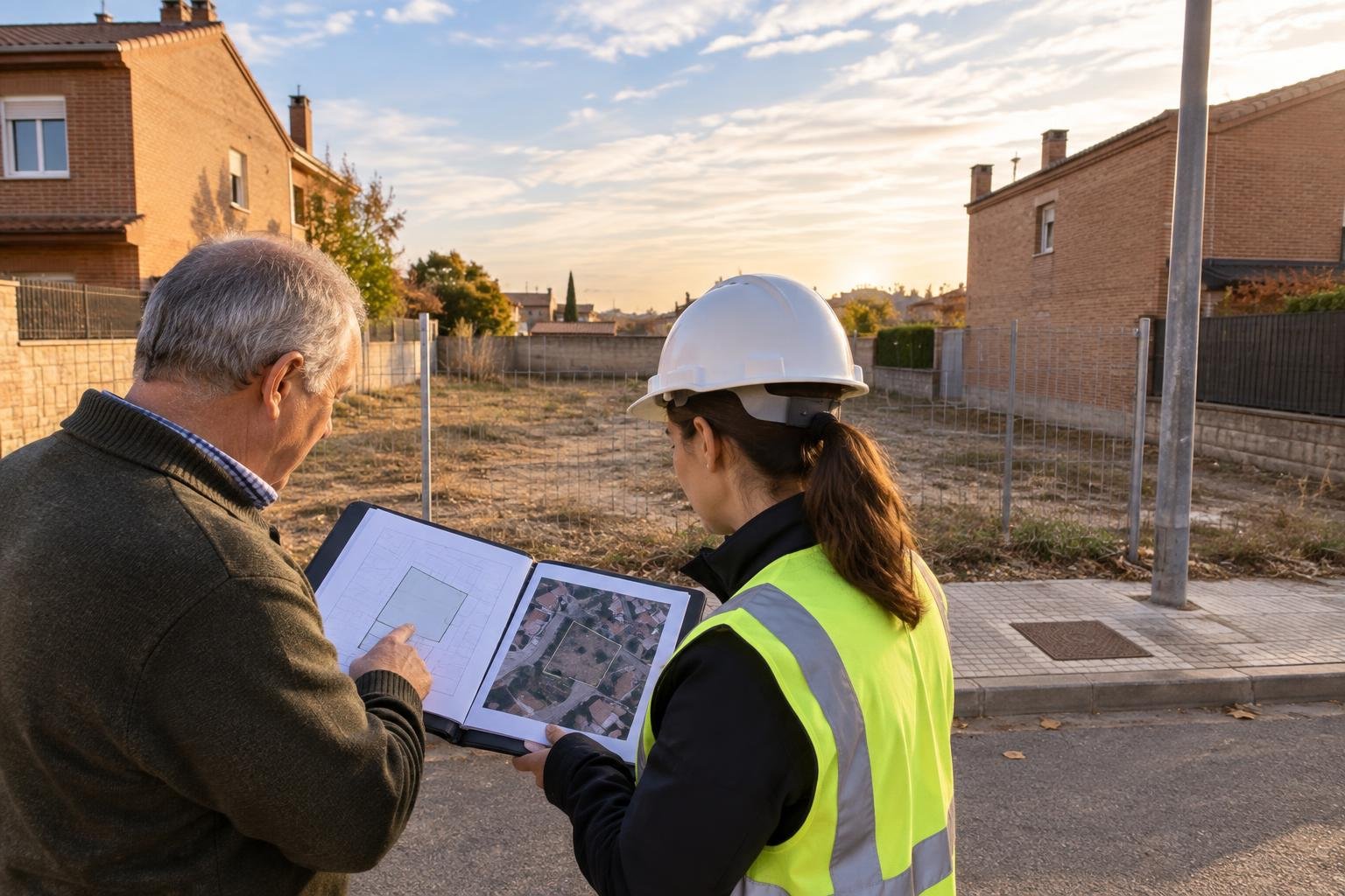
Why the first question is usually the cadastral reference
When a builder or developer looks at a plot, the first thing they need is to identify it beyond doubt. The cadastral reference is a 20-character alphanumeric code that locates the property in the Spanish Cadastre and shows its parcel, graphic surface area and neighbouring parcels. With it, whoever receives the proposal can place the land on the official map even before visiting it. According to the Cadastre Portal, the Electronic Office is the preferred means of access, and without an electronic certificate anyone can locate a property by address or cadastral reference and consult its literal and map information freely and at no cost. Including the reference in your first message saves phone calls, avoids confusion with neighbouring plots and shows that the owner has the paperwork in order.
What the descriptive and graphic cadastral certificate contains
The guide published by the Cadastre's Electronic Office explains that this certificate brings together the physical, legal and economic data of the property along with its graphic representation: location, class (urban, rural or special characteristics), main use, surface areas, year of construction if any, cadastral value of land and buildings, ownership, coordinates of the parcel's vertices and neighbouring parcels. If the property is coordinated with the Land Registry, the registry code of the estate also appears. Because it includes protected data, the full certificate can only be obtained by the cadastral owners and certain authorities, notaries and registrars, and it may not be used for a purpose other than the one stated when requesting it. That is why the owner, not the interested builder, should request it.
The Cadastre is not planning law: the town hall says what can be built
A common mistake is to assume that a parcel's cadastral class alone tells you whether it can be built on. The Cadastre describes the property for tax and identification purposes; what can be built depends on territorial and urban planning. The consolidated text of the Spanish Land and Urban Rehabilitation Act states that planning determines the powers and duties of land ownership according to the land's intended use, and recognises the right to be informed by the competent authority, completely, in writing and within a reasonable time, of the planning regime and conditions applicable to a specific property. In practice, this information is requested from the town hall under whatever name each municipality uses (planning report, certificate or urban planning card), and it is what allows a builder to assess heights, uses and buildable area.
Inconsistencies to spot before offering the plot
The Cadastre's own guide lists cases in which the descriptive and graphic certificate cannot be issued: a pending alteration file, missing mapping, a mismatch between the graphic and the alphanumeric surface area, or the parcel's geometry overlapping a neighbouring one. Any of these situations tends to raise questions during negotiation and can delay a deed. If a problem appears when you request the certificate, it is better to fix it, or at least document it, before presenting the land. It is also worth comparing the cadastral surface area with the one shown in the deed or the Land Registry: if they do not match, the buyer will notice and would rather know from the start. Remember that the certificate reflects the data on the date of issue and remains valid as long as circumstances do not change.
What to prepare before presenting the plot to builders
So that a builder can give you a serious answer, gather in one folder: the cadastral reference and exact address; a recent descriptive and graphic cadastral certificate obtained as owner; the land registry extract or registry details of the property; the planning information issued by the town hall; the deed or title of ownership; and up-to-date photos of the land, its access and its surroundings. Also add what you know about services available at the parcel boundary (water, sewerage, electricity), easements, existing structures and whether there are co-owners who must agree. State whether you want to sell the plot, exchange it or build on it, and the timeframe you have in mind. With this information, the assessment will be quicker and conversations will start from verifiable data.
Your plot deserves a well-prepared proposal.
If you own the plot, present it confidentially to explore contacts with builders and developers. You can also look for a company to build on your land.
Submit my plotSources consulted
A Constructores.com guide. Informational content; every project requires professional assessment.